Kanchenjunga Base Camp Trek
Live Intelligence Feed

Region Database / Nepal / 01

Kanchenjunga Base Camp Trek_

Max Alt

5,143m (Pangpema)

Vertical Gain

9,000m+

Status

OPTIMAL

LAT: 28.00N

LONG: 86.85E

State: READY

Knowledge Profile

DATA_VERIFIED

System extraction and analysis of regional geographic data.

LON_REF: 44.02/KPNL
[INS_01]

Cryospheric Analysis

Yalung Glacier

One of the longest glaciers in Nepal, Yalung flows down from the massive southern face of Kanchenjunga.

[INS_02]

Ethnobotanical Data

Kirati Heritage

The region is home to the Limbu and Rai people, whose culture is deeply intertwined with the flora and mountain spirits of the east.

[INS_03]

Massif Topography

Five Main Peaks

Kanchenjunga is a massif of five peaks, four of which are over 8,450m, forming a natural cross-border barrier.

Visual_Evidence_Vault

High-definition captures and multispectral imagery of regional features.

DATA_SOURCE: [LON-HDV-01]
streaming_narrative_source.txt
Byte_Count: 209
Extraction: STREAMING...

Kanchenjunga, meaning "Five Treasures of the Snows," is the third highest peak in the world. The trek to its base camp (both North and South) is a long and challenging journey through the far eastern corner of Nepal, offering some of the most spectacular mountain scenery in the world.

Highlights of the Trek

  • Kanchenjunga Massif: Enjoy incredible views of the massive Kanchenjunga range, including its five main peaks.
  • Limbu and Rai Culture: Experience the unique hospitality and traditions of the Kirati people in the lower regions of eastern Nepal.
  • High-Altitude Passes: Traverse the Sele La Pass or Mirgin La for dramatic views of Everest, Lhotse, and Makalu in the distance.
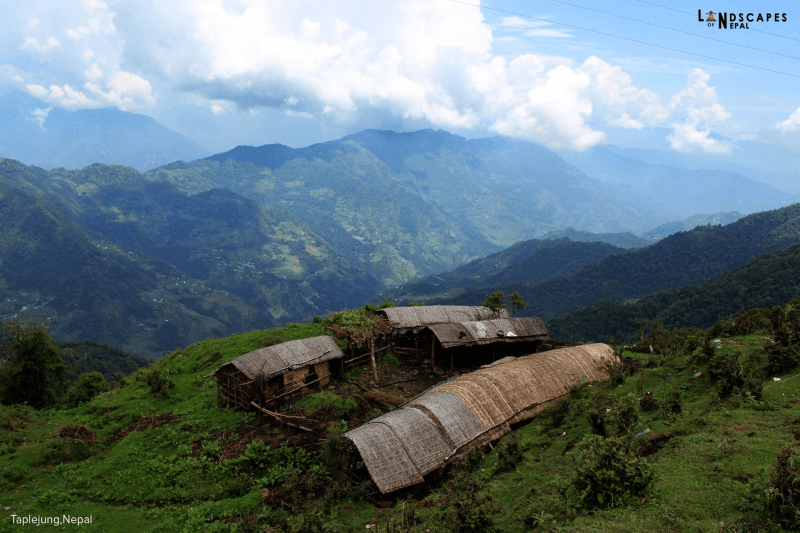
  • Remote Wilderness: A truly off-the-beaten-path experience with very few other trekkers, ensuring a deep connection with nature.

A Grand Himalayan Expedition

The Kanchenjunga region is a conservation area that spans Nepal, India, and Tibet. The trek is physically demanding due to its length and the remoteness of the area. It is perfect for seasoned trekkers who want to experience the grandeur of the Himalayas in its most pristine form.

Route_Execution_Timeline

Validated trek segments and technical terrain data.

DAY_01

Eastern Perimeter

Flight to Bhadrapur and drive to Taplejung. Deployment into the foothills.

Est_Dist

25.0 KM (Drive)

Peak_Alt

1,820 M

Risk_Lvl

LOW

DAY_12

Pangpema Objective

Arrival at the North Base Camp (Pangpema) for direct views of the Kanchenjunga North Face.

Est_Dist

14.0 KM

Peak_Alt

5,143 M

Risk_Lvl

HIGH

DAY_18

The South Flank

Traversal across the Mirgin La passes to reach the Yalung Base Camp.

Est_Dist

12.0 KM

Peak_Alt

4,660 M

Risk_Lvl

EXPERT

Caution: Real-time environmental variables may impact execution.